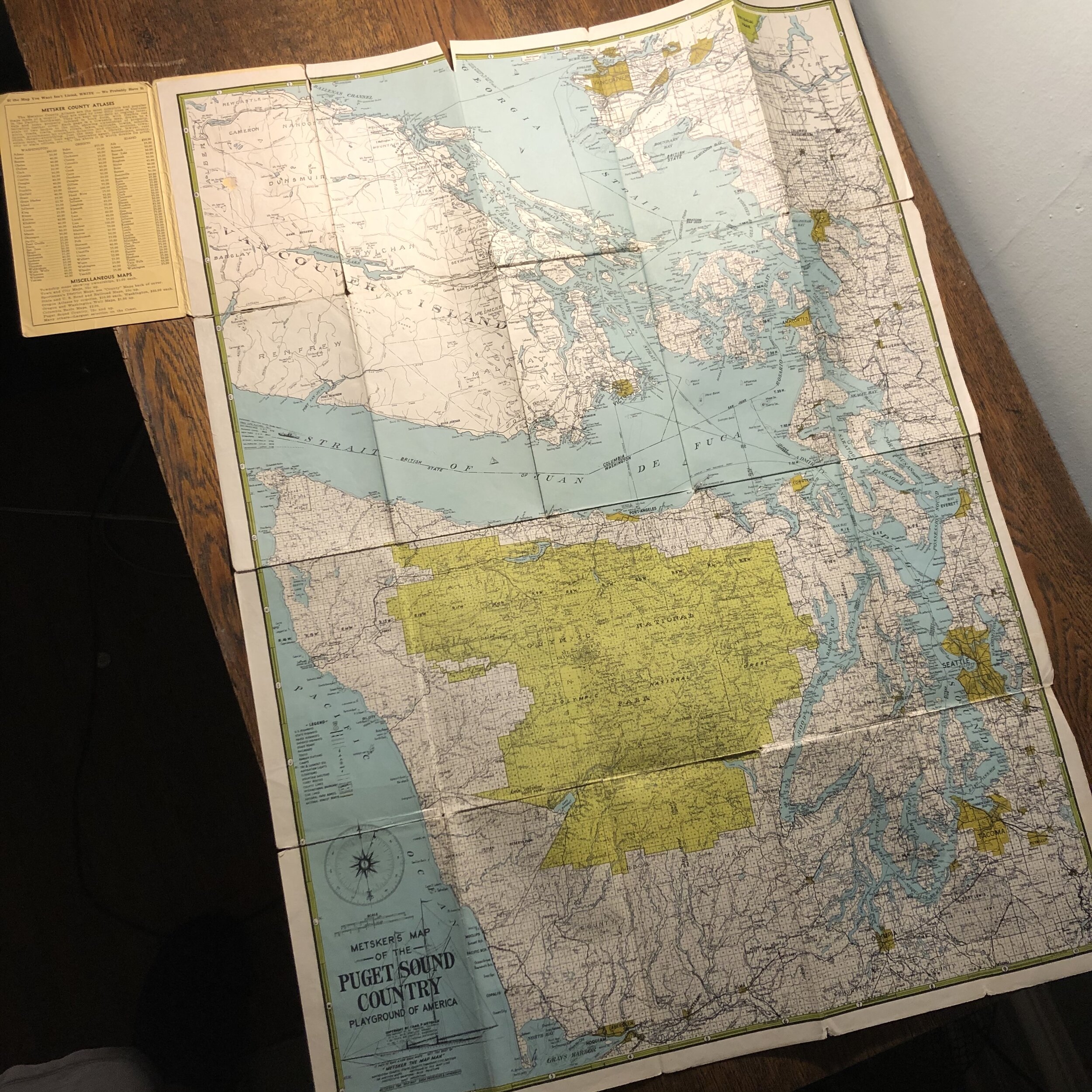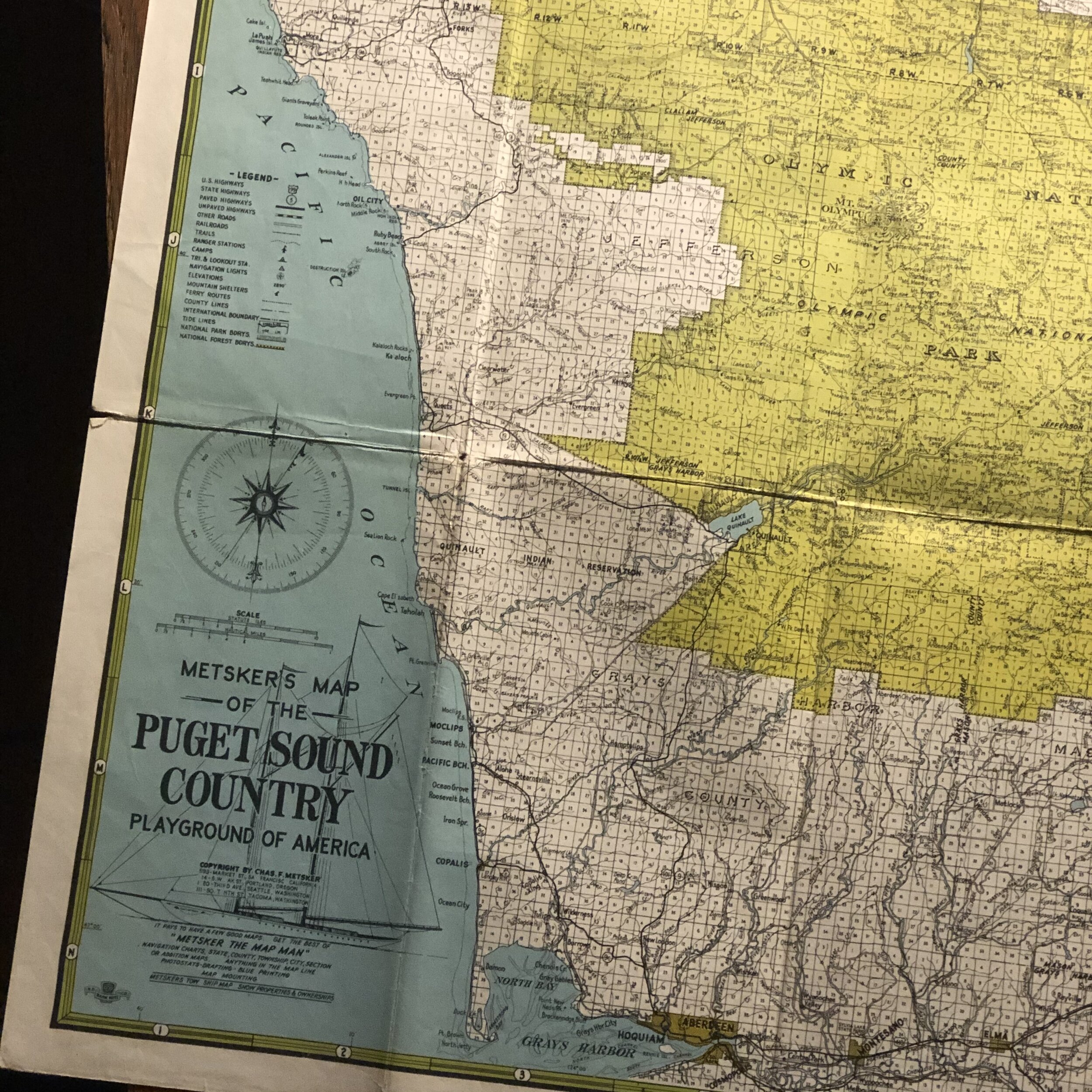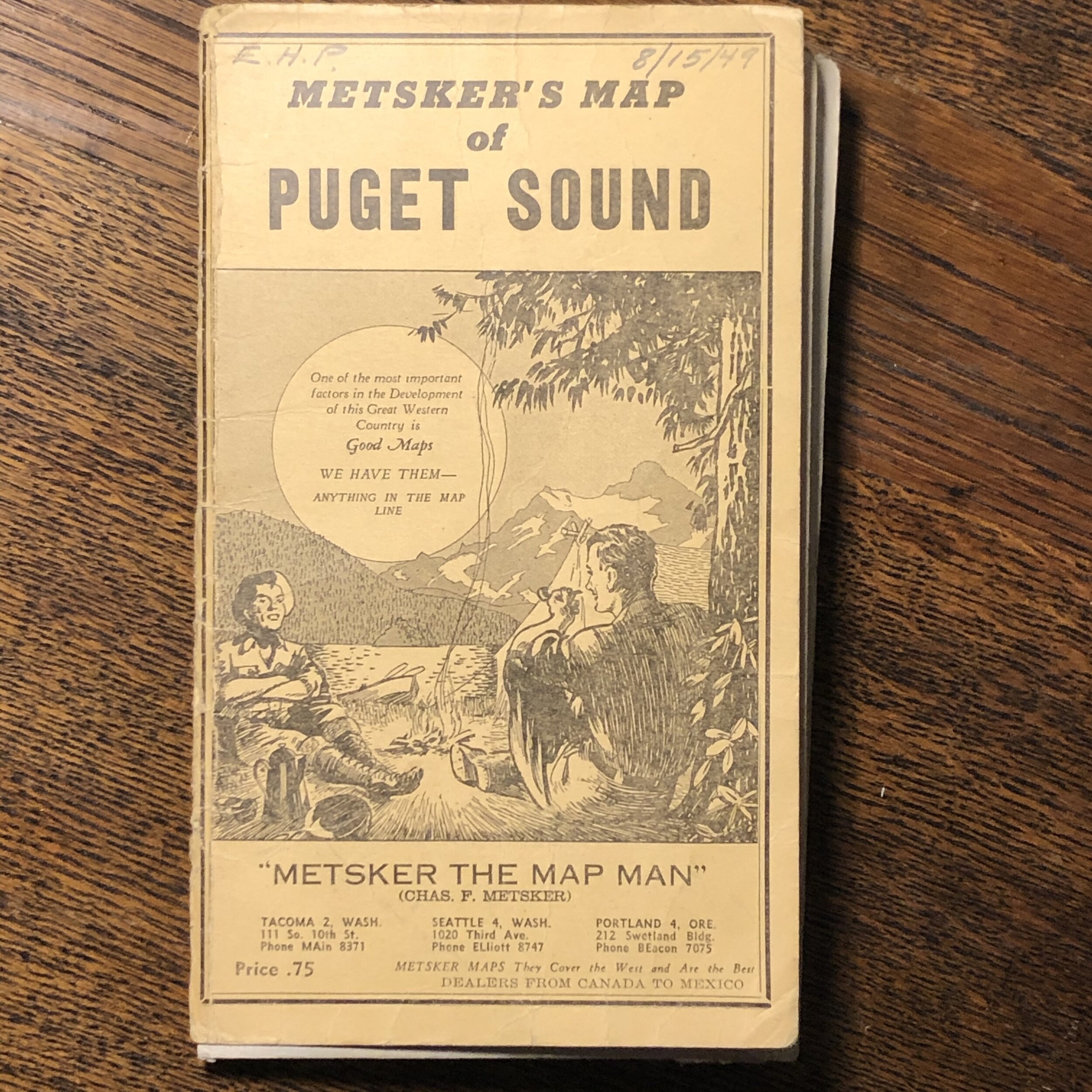
Antique Metsker Map of Puget Sound
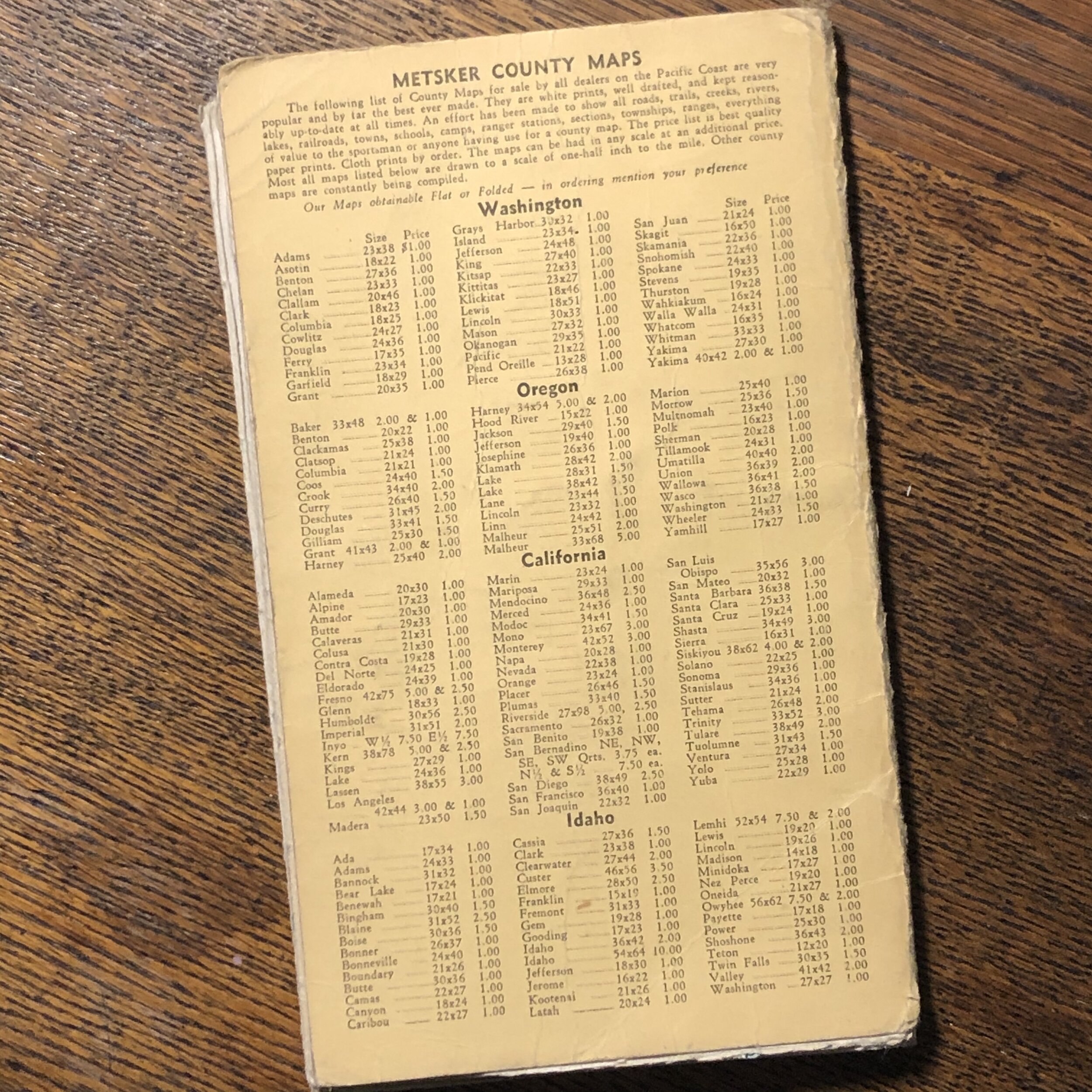
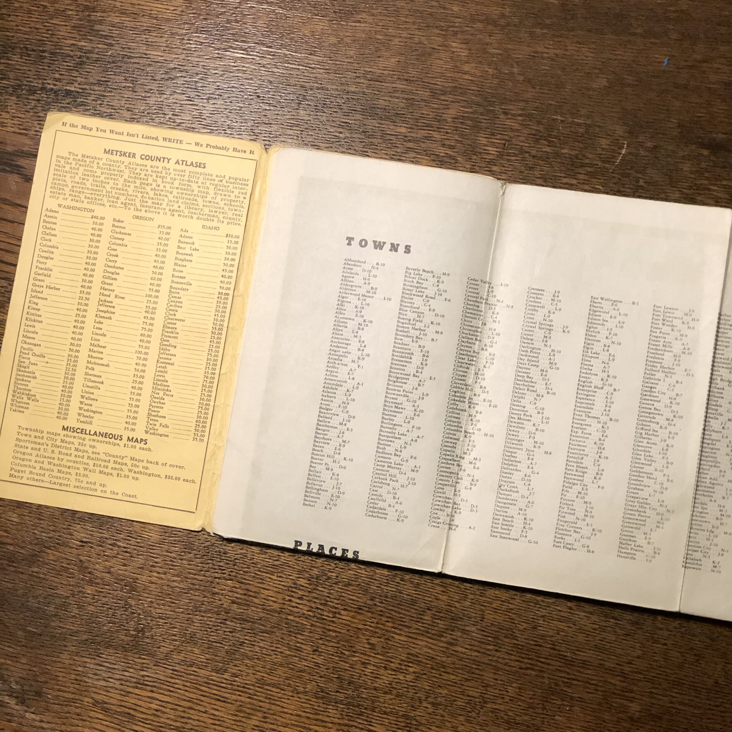
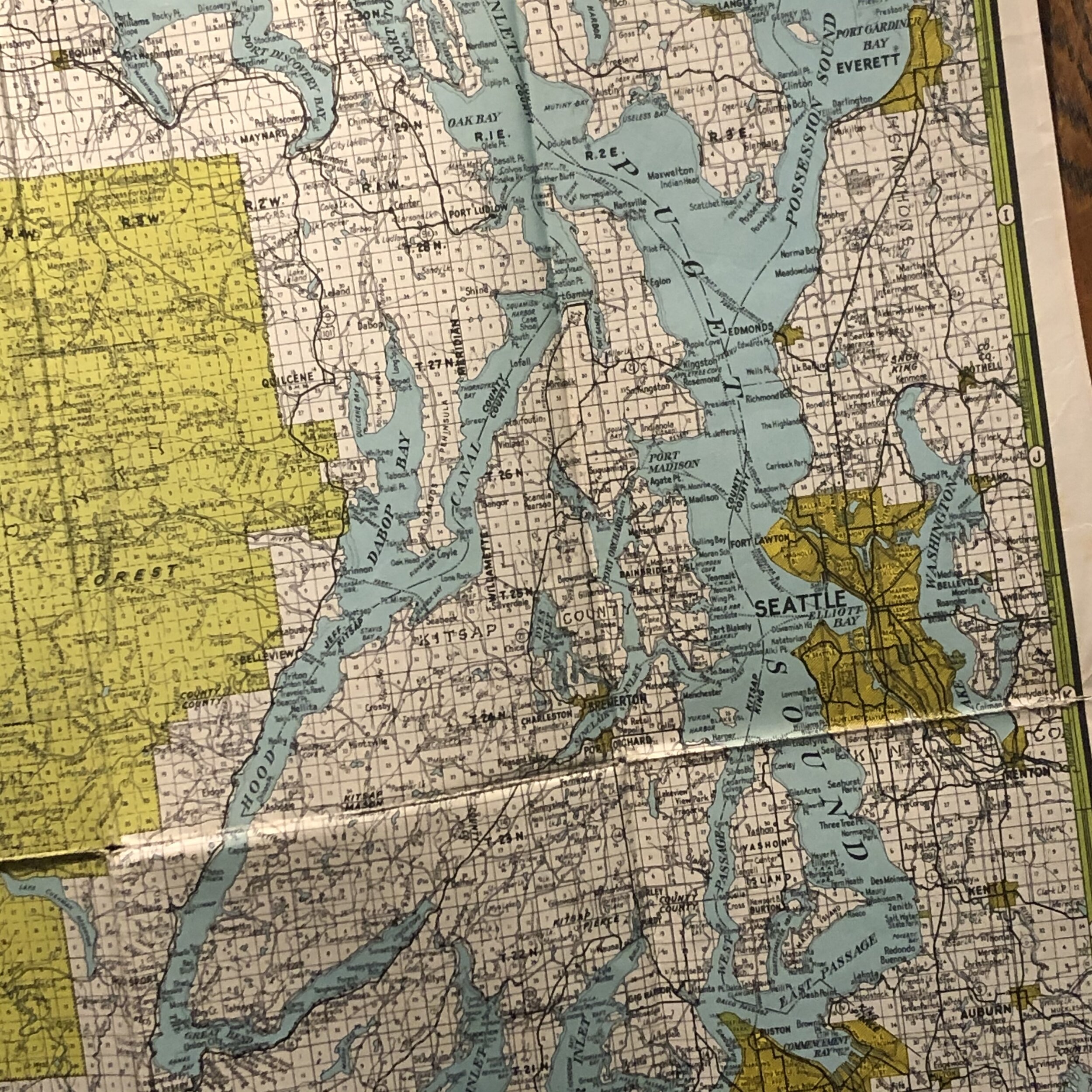
Compare your area of The Sound, with this 71 year old map of Puget Sound. It is poster size (22x30inch) and full intact. Handwritten date *8/15/49, by E.H. Pearson on the front, some seems are separating, this can be corrected with proper mounting and frame. The date written on cover pre-dates the 1950 Metsker’s brick and mortar store front. Being there are 100’s of maps belonging to the collection, this suggests a personal relationship between the would be shop owner and E. H. Pearson.
Metsker Maps has been a fixture in the Pacific Northwest since the 1900’s. To give you a little bit of history – Charles Metsker started mapping the PNW in 1901.
*In 1950, he opened his first brick and mortar store in Seattle to primarily sell County Maps, Township Maps and Atlases. His maps are known as some of the most detailed ever done of the Northwest. (link)

